View in browser
Clouds are the bane of a hurricane forecaster’s existence. Or they were, until about 20 years ago, when forecasters got access to a technology that Kim Wood, an atmospheric scientist at the University of Arizona, told me to think of as cloud X-ray vision: It cuts through the cloud top to help generate a high-resolution, three-dimensional image of what’s happening below.
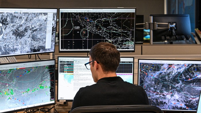
Known as the Special Sensor Microwave Imager Sounder, or SSMIS, it rides on a series of satellites and allows forecasters to see a storm’s structure, which might otherwise be invisible. The Hurricane Hunter planes that fly into storms can also be used to generate three-dimensional storm images, but the National Oceanic and Atmospheric Administration, which is responsible for hurricane forecasting, has only two of those aircraft. They can’t be everywhere at once. With the SSMIS, forecasters had an autonomous, powerful eye in the sky. But now the Department of Defense says it will cease processing and distributing the crucial imagery from this sensor at the end of this month. Losing these views threatens the National Hurricane Center’s ability to see what’s forming, Wood told me.
For years, the National Hurricane Center has been improving the accuracy of its forecasts, and one short year ago, the United States was better at predicting storms’ tracks than it had ever been. But the Trump administration has been cutting the forecasting staff and budgets. And now these satellite data will be missing too. The U.S. is rapidly losing state-of-the-art hurricane forecasting, just in time for hurricane season’s busiest months.
The data were nice while we had them. After all, no one likes a surprise hurricane. When the sun goes down, convective storms over open ocean often grow stronger, juiced by the changing temperature dynamics. But that’s also when types of storm surveillance that rely on what’s visible are least able to determine what’s going on. Infrared imaging can see in the dark, but the picture is typically low-resolution and grainy, and can obscure key shapes. When the sun comes up, forecasters can suddenly be looking at a fully formed storm eye. Forecasters dread the “sunrise surprise,” which is exactly the sort of thing that the microwave imagery from SSMIS is most helpful in preventing. It gives a clearer picture, even through clouds, and even in the dark.
Plus, the technology is vital to picking up on telltale signs of rapid intensification, a phenomenon that has become more common in recent years, most notably with Hurricane Otis in 2023 and Hurricane Milton in 2024. Storms that intensify faster and reach higher peak intensities just before hitting land are a nightmare for forecasting, and climate scientists worry they will become only more common as the planet warms. Research suggests that certain signature formations in a storm could indicate that it may intensify rapidly, Andrew Hazelton, an associate scientist working in hurricane modeling and research at the University of Miami, told me. Those structures are simply easier to see with the SSMIS images.
A few other satellites can provide microwave imaging. But, as the meteorologist Michael Lowry has pointed out, their instruments either are orbiting more infrequently or are inferior to the one being discontinued. NOAA suggested to Lowry that its Advanced Technology Microwave Sounder instrument would be able to fill the gap, he wrote. But that suggestion is misleading, Hazelton said: The information from that satellite is so low-resolution that the eye of a hurricane looks like just a few pixels instead of a more detailed image. “It’s really hard to pick out details,” he told me—including the aspects of a storm’s structure that may signal that it could rapidly intensify. Plus, having fewer microwave instruments operating in the sky means fewer snapshots of oceans where hurricanes might form. Without SSMIS, the number of microwave-image glimpses that forecasters get over any given spot will be essentially cut in half, Lowry wrote; many more hours could go by without observations when they’re most needed. (I reached out to NOAA for comment, but the agency redirected me to the Department of Defense.)
SSMIS is part of the Defense Meteorological Satellite Program; a Navy spokesperson told me the entire satellite program is slated to be discontinued in September 2026. When I asked about previous reports citing cybersecurity concerns as a reason for the closure, the Navy spokesperson responded only that the satellite program is “no longer compliant with Department of the Navy information technology modernization requirements.” In the meantime, the Defense Department will just stop processing and distributing the data it collects. A spokesperson from the U.S. Space Force also told me the satellite system will be replaced by two other satellite systems, the second one of which is slated to be operational in 2027. But that still doesn’t explain why this data stream is being cut off now, more than a year before the satellite program is slated to be decommissioned, Hazelton said. “We need all the microwave data we can get while it’s available.”
These aren’t the only data forecasters have lost, either: Right now, across the U.S., fewer weather balloons are being launched because of staffing shortages at National Weather Service forecasting offices. Balloons offer insights into how the atmosphere is behaving; data picked up on the West Coast are the East Coast’s business, too, as they'll predict the weather coming just hours in the future. “We want the complete picture of the state of the atmosphere so that we have a way to then estimate the next step,” Wood said. “Upstream information is often just as critical as information right at the point where the storm might be.”
NOAA is losing the experts who can interpret those data, too. And cuts to staff this year already mean that more duties are piled higher on individual people, “which means they may be less able to properly use the data once it comes in,” Wood said. Those cuts extend all the way to the people who work on underlying weather models. Hazelton, for example, was on a team at the National Weather Service where he worked to improve hurricane modeling. In February, he was axed along with some 800 employees who had been recently hired; he’d worked for NOAA as a contract employee for nearly a decade, on Hurricane Hunter missions and improving storm modeling. He was part of the group of fired NOAA employees who were hastily rehired after a judge temporarily blocked President Donald Trump’s cuts, and was refired after a subsequent Supreme Court ruling. At the University of Miami, he’s now continuing his work on hurricane models through a federal partnership.
The latest proposed NOAA budget for 2026, released Monday, aims to remove even more workers, along with whole programs. It zeroes out, for instance, the line item for the entire Oceanic and Atmospheric Research office, a network of federal research centers whose work helps develop new techniques and tools for forecasters and improve weather models. If this budget passes, the forecasts of the near future—three, five, 10 years down the line—will suffer too, Hazelton said.
This year has been a miserable cascade of losses for the American hurricane-safety apparatus. Any one of these losses might have been papered over by other parts of the system. But now it’s just losing too many components for that. As James Franklin, the former chief of the National Hurricane Center’s hurricane-specialist unit, put it in a post on Substack, “Resiliency is being stripped away, piece by piece.” What’s easy to see coming now are the possible consequences: at best, a needless evacuation. But just as easily: a rushed evacuation, a surprise landfall, a flattened house.