|
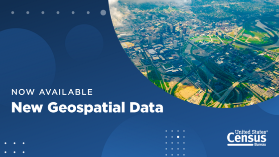
New Geographic Reference Files Are Available
Announcing the release of Geographic Reference Files!
The Geographic Reference Files (GRFs) are state-based pipe-delimited text files. They are produced in two types - Codes and Names - that may be used together.
The Geographic Reference File – Codes (or GRF-C) provides census block-level geographic codes for the current entities in the Census Bureau's Master Address File/Topologically Integrated Geographic Encoding and Referencing (MAF/TIGER) System as of the year of the file. Each row in the file represents a single census block.
The Geographic Reference File – Names (or GRF-N) provides additional information, such as names and selected attributes, for the geographic entities whose codes appear in the GRF-C. Each entity appears as its own row within this file.
|
|
About the Geography Program

Geography is central to the work of the Census Bureau, providing the framework for survey design, sample selection, data collection, tabulation, and dissemination. Geography provides meaning and context to statistical data.
|
|
|
|
Use of the latest and best geographic methodologies is critical to the Census Bureau’s ability to serve as the leading provider of statistical and geospatial data. Our geographic area concepts, information, and statistical data must keep pace with the needs of the researchers and analysts who work to understand the changing distribution and characteristics of our people, places, and economy.
|
|
|
|